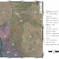
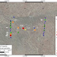
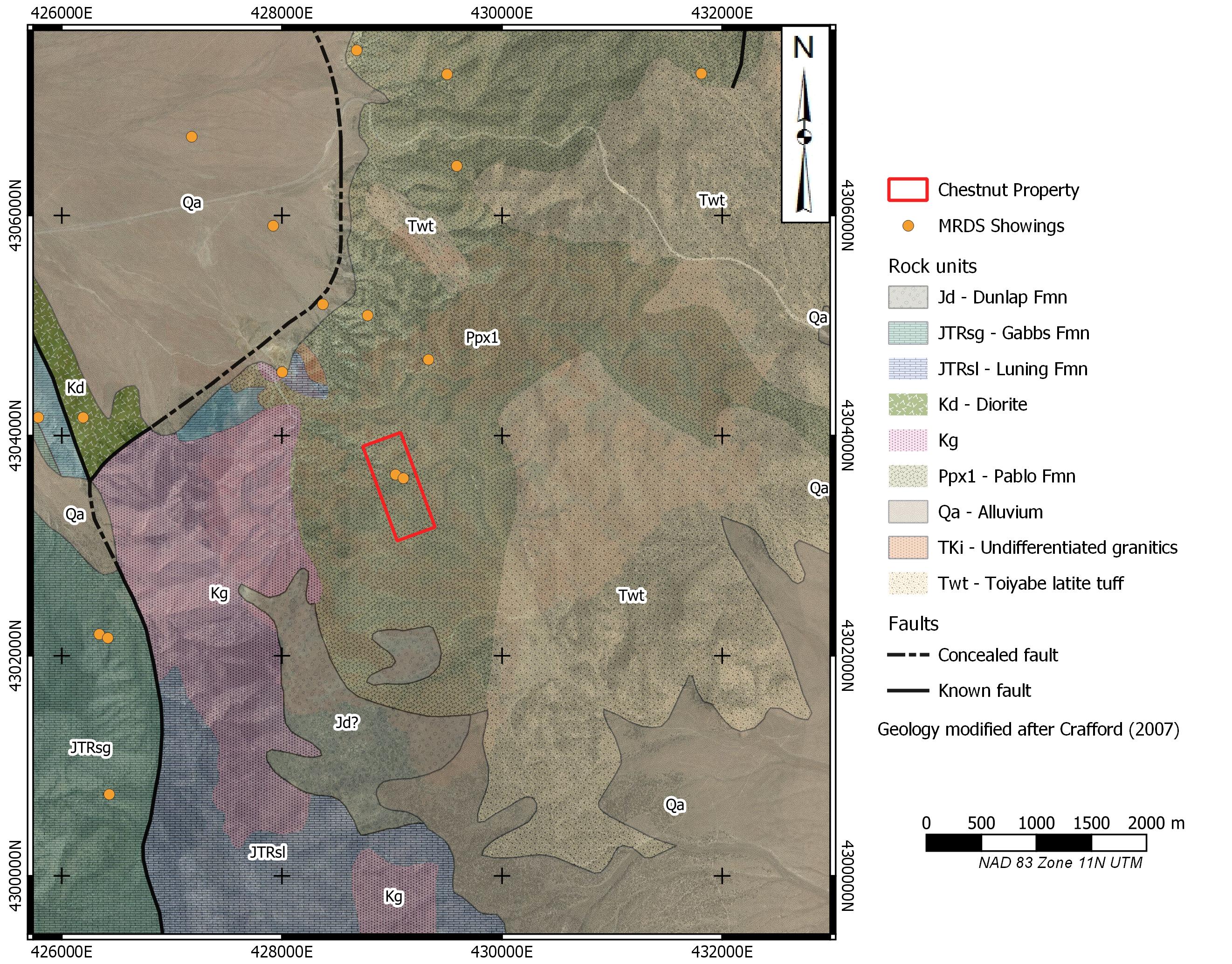
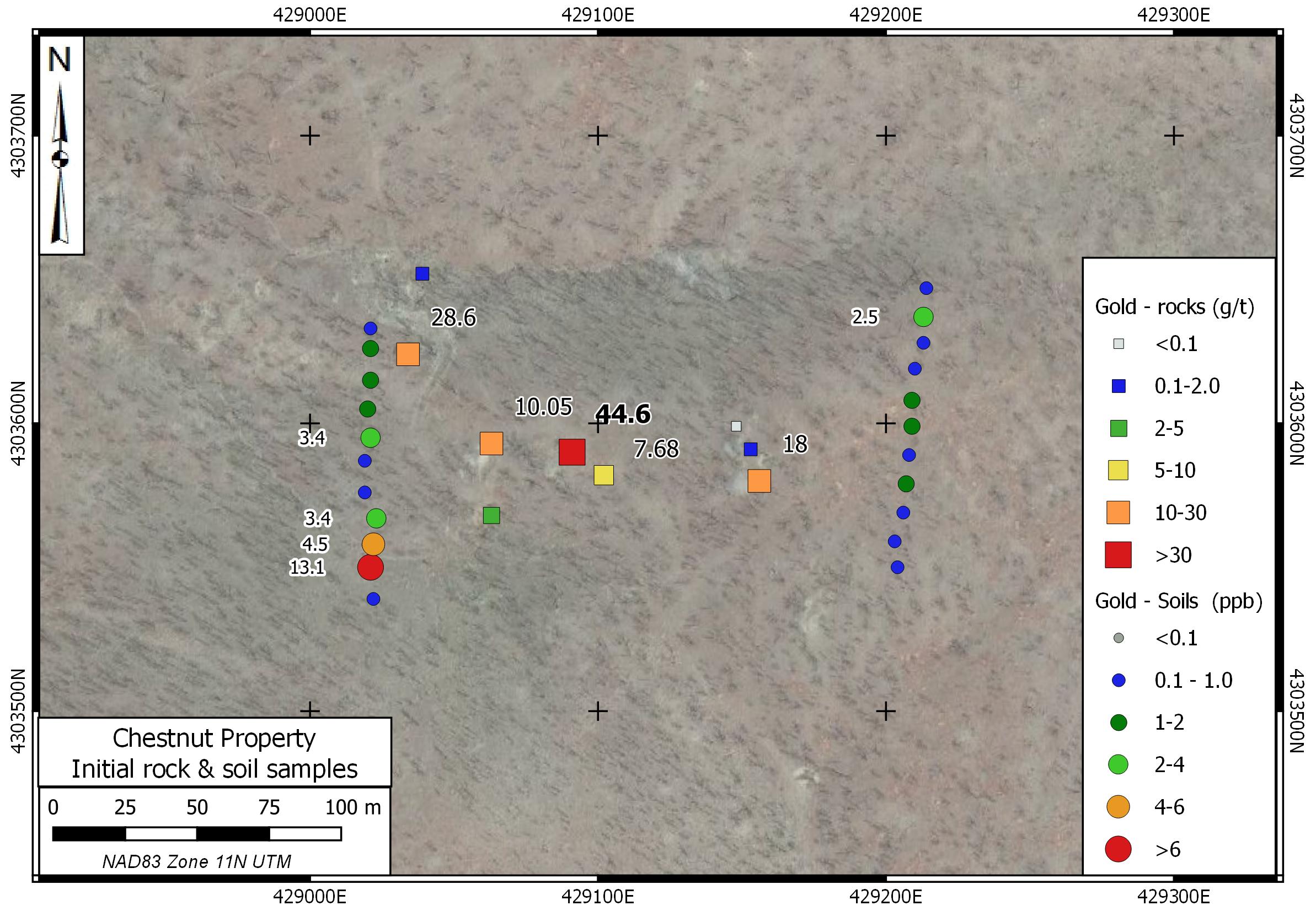
The Chestnut Property is centred at 380 53’ N 1170 49’ W in Section 28, Township 12 North, Range 37 East in Nye County. The property is on U.S. Forest Service lands, 8 km east of Gabbs, and is accessible by 4x4 on existing trails. Chestnut is underlain by andesite, argillite and chert of the Permian Pablo Formation. Vein hosted gold mineralization was mined on a small scale from several adits on the property. Nevada Bureau of Mines & Geology sample 2229 at this site assayed 4.2 g/t Au and reported mineralization in white quartz and kaolinized andesite. Hematite boxworks after pyrite and jarosite are reported in both the veins and wallrock. Silver Range sampled and staked the property in 2021, collecting grab samples up to 44.6 g/t Au. Five of 11 samples collected returned assays greater than 5 g/t Au. Orientation soil surveys over the inferred extension of the vein system showed positive responses in gold and pathfinder elements. Silver Range intends to conduct soil geochemical and geophysical surveys to map the extent of the mineralization and identify drill targets.
- TSX-V: SNG